Weather satellite images recorded at Haarlem, Nederland.
Latitude: 52.348, Longitude: 4.642
Software: WXtoImg version 2.10.10
Receiver: R2FX
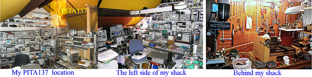
Antenna: PITA-137

 |
||||
|---|---|---|---|---|
|
Click on any image below for a full sized image. Times are shown in UTC.


Next Scheduled Satellite Passes over Haarlem, Nederland
* local time is West-Europa (zomertijd). | ||||||||||||||||||||||||||||||||||||||||||||||||||||||||||||||||||||||||||||